User:Brs57/sandbox/geology
< User:Brs57 | sandbox
Baja Region of Sonoran Desert
Geological Origin:
Baja California is located on the west side of Mexico. It is separated by the mainland of Mexico by the Sea of Cortez, making it a peninsula. How it has been mentioned in our visit of Professor Croxen and in our book, Baja California was not a peninsula until the earth started to change. This change is what is now described as Basin and Range, which simply put are mountains or higher land and valleys or lower land. This process which took thousands of years started when the Pacific Plate and the Farallon Plate started to move east under the North American Plate. When the Pacific and Farallon plates were under the North American Plate they started to move northwest. This would stretch out the crust of the earth and create these Basins and Ranges which extends throughout the western United States and northwestern Mexico. Baja California was the westernmost part of the North American Plate which was eventually separated. This also brought in the Sea of Cortez where the Colorado River would flow to when it flowed freely.
Current Geography:

The peninsula of Baja California is located in the northwestern part of Mexico; it covers an area of 71,777.589 km2. This peninsula extends to almost 1,300 km from north to south and is a land of steep mountain ranges and coastal valleys. Mexicali is a city just south of the US border, and the capital city of Baja California. The Gulf of California (also known as The Sea of Cortez) separates this peninsula with mainland Mexico and the maximum distance between the two is 250 km. The Pacific Ocean lies on the west of Baja California. Several NNW to SSE trending mountain ranges are present on this peninsula, and Picacho del Diablo is the highest peak on the Baja California peninsula, measuring 3,096 meters (10,157 ft). It is alternately called Cerro de la Encantada, "Hill of the Enchanted", "Hill of the Bewitched". The peak is located in the Sierra de San Pedro Mártir, part of the Peninsular Ranges. Desert areas comprise about 65% of the peninsula. The largest desert in Baja California is the Vizcaíno Desert, located in the west-central part, that has been designated a protected Biosphere Reserve by the United Nations. This peninsula has a variety of types of geological environments like coastal wetlands, sandy beaches, over 100 islands mostly located along the Gulf coast.
Climate:
The climate of the Baja Peninsula ranges from Mediterranean to tropical and 69% of the region is hot deserts with little rainfall in winter with hot and dry summers when temperatures. Being surrounded by the ocean, fog appears in areas closest to water. Change in altitude always comes with a change in temperature. In the Sierra de Baja California, the climate is an alpine climate meaning that it is cooler there in the summers and can get cold during the winter. Forests can be present in the mountains as well as snow during the winter season. However, being home to part of the Sonoran Desert, the summers can be hot and barely mild winters. During summer and fall, tropical storms locally known as chubascos may bring rain and winds that may last for a few hours to a few days. Hurricanes are infrequent, yet occasionally occur from time to time, for e.g. Hurricane John in 2006 severely impacted Cabo Pulmo causing heavy rains and 240 km/hour winds. In conclusion, the climate of Baja California is usually hot in lower elevations and cooler in higher elevations.
The Cultural Use of Minerals in Baja California and the Gulf of California:
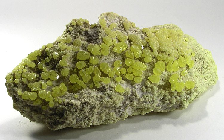
Baja California is home to a total of 161 operating mines in the whole Mexican state. A total of 19 different minerals are being mined which are Gold, Tungsten, Copper, Iron, Silver, Phosphorus-Phosphates, Sulfur, Manganese, Lead, Aluminum, Barium-Barite, Graphite, Silica, Zinc, Zirconium, Titanium, Titanium Metal, Molybdenum, and Chromium. The mines are spread out through the state of Baja California and are broken into 5 different provinces which are placed depending on its location and what is mined. In the first province deposits of mesothermal sulfates of iron, copper and gold are being mined. The second province corresponds to the gold veins distributed along with the whole state. The third province corresponds to deposits of tungsten. The fourth province corresponds to the deposits of manganese sulfites, barite, lead, zinc, and silver. The fifth province involves gold pleasure deposits. Some of the cities in Baja California that have these mines are Tijuana (which has 23 operating mines), Ensenada (which has 13 operating mines) and Mexicali (which has 4 operating mines). More mines are located in other cities and towns throughout the Baja California region.
