Template:Wikijunior:Countries A-Z/Asia Labelled Map
Jump to navigation
Jump to search


0.0
0.1
0.2
0.3
0.4
0.5
0.6
0.7
0.8
0.9
0.1
0.2
0.3
0.4
0.5
0.6
0.7
0.8
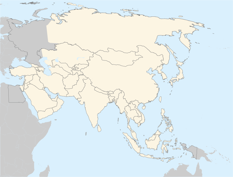
Clickable map of Asia, showing the standard convention for its continental boundary with Africa, Europe, and Oceania. (see w:boundary between Europe and Asia for more information).
Legend: blue = Contiguous transcontinental states; green = Sometimes considered Asian but geographically outside Asia's boundaries; gray = Countries not geographically part of Asia.
Places in italics with an abbreviated country name in parentheses after them ((Dk.), (Fr.)) are dependencies or autonomous areas geographically separate from the rest of the country. Geographically separate non-autonomous parts of country are labeled with their country name first, followed by the name of the area in parentheses and italics.