File:Iroquois 6 Nations map c1720.png
Jump to navigation
Jump to search
No higher resolution available.
Iroquois_6_Nations_map_c1720.png (588 × 427 pixels, file size: 114 KB, MIME type: image/png)
|
|
This is a file from the Wikimedia Commons |
| Description |
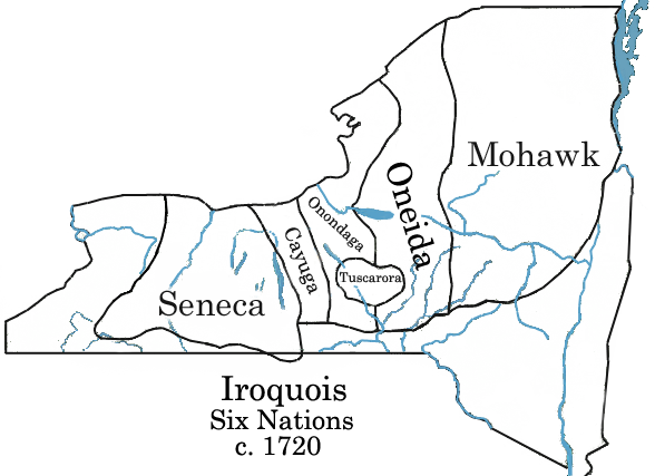
Iroquois Six-Nations map c.1720 Català: Mapa de la Confederació Iroquesa el 1720
Español: Mapa de las tribus iroquesas alrededor de 1720 |
||
| Date | |||
| Source | w:Image:Iroquois 6 Nations map c1720.png | ||
| Author | R. A. Nonenmacher | ||
| Permission (Reusing this file) |
|
File history
Click on a date/time to view the file as it appeared at that time.
| Date/Time | Thumbnail | Dimensions | User | Comment | |
|---|---|---|---|---|---|
| current | 18:18, 27 June 2006 | | 588 × 427 (114 KB) | Nonenmac | {{Information |Description=Iroquois Six-Nations map c.1720 |Source=w:Image:Iroquois 6 Nation Map c1720.png |Date=2004 |Author=C.C. Nonenmacher |Permission={{PD-self}} |other_versions= }} Category:Iroquois |
| 22:01, 26 November 2005 |  | 320 × 232 (56 KB) | Walden69 | Mapa wikipedia english |
File usage
The following page uses this file:
Global file usage
The following other wikis use this file:
- Usage on bg.wikipedia.org
- Usage on ca.wikipedia.org
- Usage on de.wikipedia.org
- Usage on en.wikipedia.org
- Usage on eo.wikipedia.org
- Usage on es.wikipedia.org
- Usage on eu.wikipedia.org
- Usage on fa.wikipedia.org
- Usage on fi.wikipedia.org
- Usage on frr.wikipedia.org
- Usage on fr.wikipedia.org
- Usage on gl.wikipedia.org
- Usage on he.wikipedia.org
- Usage on hi.wikipedia.org
- Usage on incubator.wikimedia.org
- Usage on it.wikipedia.org
- Usage on ja.wikipedia.org
- Usage on nn.wikipedia.org
- Usage on no.wikipedia.org
- Usage on ro.wikipedia.org
- Usage on ru.wikipedia.org
- Usage on simple.wikipedia.org
- Usage on sr.wikipedia.org
- Usage on stq.wikipedia.org
- Usage on sv.wikipedia.org
- Usage on tr.wikipedia.org
- Usage on uk.wikipedia.org
- Usage on vi.wikipedia.org
- Usage on zh.wikipedia.org