File:CustisTrail.jpg
Jump to navigation
Jump to search
No higher resolution available.
CustisTrail.jpg (706 × 590 pixels, file size: 453 KB, MIME type: image/jpeg)
|
|
This is a file from the Wikimedia Commons |
Summary
| Description |
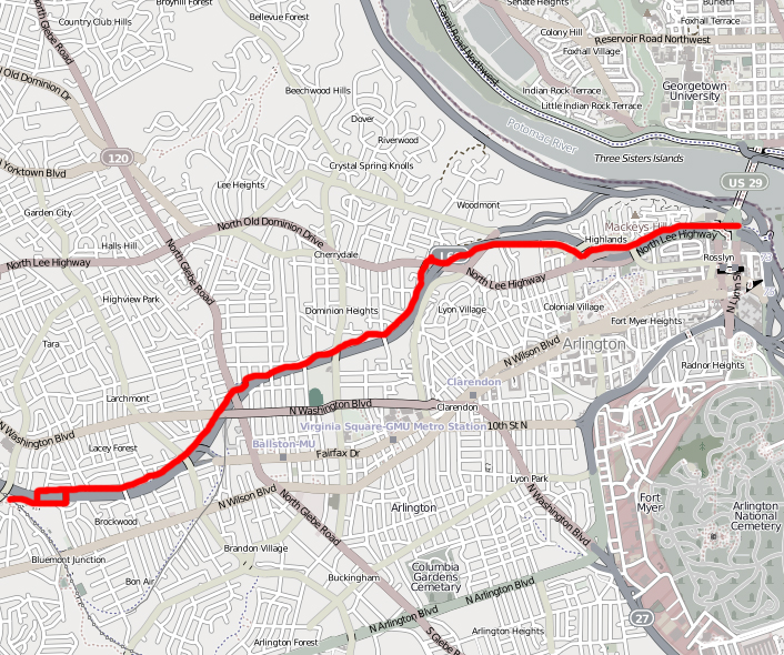
English: Map of the Custis Trail. Image has been modified from its original form (trail has been highlighted with a red line and rest of image has been desaturated). |
||||||||||||
| Date | |||||||||||||
| Source | http://www.openstreetmap.org/?lat=38.8916&lon=-77.1031&zoom=14&layers=M | ||||||||||||
| Author | OpenStreetMap | ||||||||||||
| Permission (Reusing this file) |
|
Licensing
This file is licensed under the Creative Commons Attribution-Share Alike 3.0 Unported license.
- You are free:
- to share – to copy, distribute and transmit the work
- to remix – to adapt the work
- Under the following conditions:
- attribution – You must give appropriate credit, provide a link to the license, and indicate if changes were made. You may do so in any reasonable manner, but not in any way that suggests the licensor endorses you or your use.
- share alike – If you remix, transform, or build upon the material, you must distribute your contributions under the same or compatible license as the original.
File history
Click on a date/time to view the file as it appeared at that time.
| Date/Time | Thumbnail | Dimensions | User | Comment | |
|---|---|---|---|---|---|
| current | 20:21, 26 March 2011 | | 706 × 590 (453 KB) | Bobco85 | {{Information |Description= Map of the Custis Trail. Image has been modified from its original form (trail has been highlighted with a red line and rest of image has been desaturated). |Source=http://www.openstreetmap.org/?lat=38.8916&lon=-77.1031&zoom=14 |
| 20:48, 25 March 2011 |  | 956 × 542 (675 KB) | Bobco85 | {{Information |Description ={{en|1=A map of the Custis Trail starting from the western end at the Washington & Old Dominion trail and continuing to the eastern end near Key Bridge in Rosslyn, VA.}} |Source =Screenshot of Custis Trail mapped on |
File usage
The following page uses this file:
Global file usage
The following other wikis use this file:
- Usage on en.wikipedia.org
- Usage on www.wikidata.org