File:Schengen Area.svg
Jump to navigation
Jump to search

Size of this PNG preview of this SVG file: 454 × 450 pixels. Other resolutions: 242 × 240 pixels | 484 × 480 pixels | 775 × 768 pixels | 1,033 × 1,024 pixels | 2,066 × 2,048 pixels.
Original file (SVG file, nominally 454 × 450 pixels, file size: 403 KB)
|
|
This is a file from the Wikimedia Commons |
Summary
| Description |
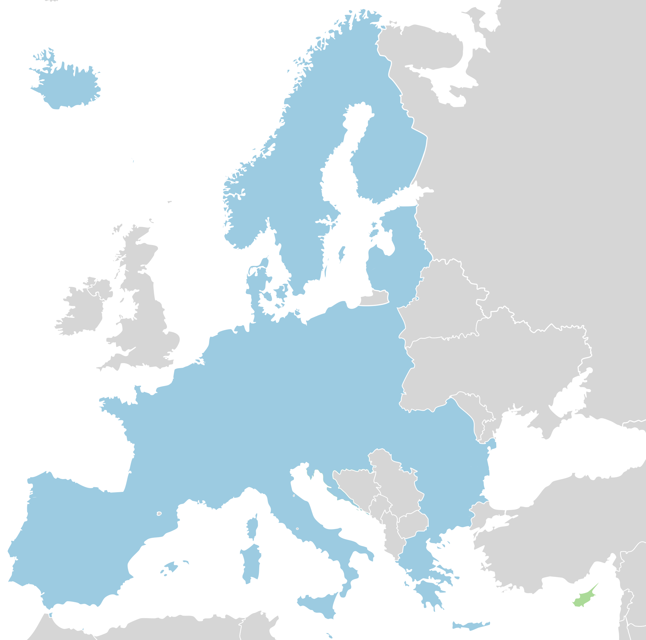
English: Map of the Schengen Area.
|
| Date | (UTC) |
| Source |
|
| Author |
|
Licensing
I, the copyright holder of this work, hereby publish it under the following licenses:
This file is licensed under the Creative Commons Attribution-Share Alike 3.0 Unported, 2.5 Generic, 2.0 Generic and 1.0 Generic license.
- You are free:
- to share – to copy, distribute and transmit the work
- to remix – to adapt the work
- Under the following conditions:
- attribution – You must give appropriate credit, provide a link to the license, and indicate if changes were made. You may do so in any reasonable manner, but not in any way that suggests the licensor endorses you or your use.
- share alike – If you remix, transform, or build upon the material, you must distribute your contributions under the same or compatible license as the original.

|
Permission is granted to copy, distribute and/or modify this document under the terms of the GNU Free Documentation License, Version 1.2 or any later version published by the Free Software Foundation; with no Invariant Sections, no Front-Cover Texts, and no Back-Cover Texts. A copy of the license is included in the section entitled GNU Free Documentation License. |
You may select the license of your choice.
Original upload log
This image is a derivative work of the following images:
- File:Schengen_Agreement_map.svg licensed with Cc-by-sa-3.0,2.5,2.0,1.0, GFDL
- 2010-08-07T19:43:03Z Fry1989 454x450 (535167 Bytes) Reverted to version as of 13:34, 12 December 2008 bacl to brown, Ireland and UK both apply a few Shengen laws, but are brown because they have a seperate border treaty with eachother called the Common Travel Area
- 2010-08-07T15:30:51Z Blue-Haired Lawyer 454x450 (535167 Bytes) The Republic of Ireland has never ratified police and judicial cooperation agreement
- 2008-12-12T13:34:41Z Bourrichon 454x450 (535167 Bytes) + Suisse
- 2008-11-07T10:03:38Z Ssolbergj 454x450 (540728 Bytes) New colour for UK and Ireland
- 2008-01-21T20:55:08Z Ssolbergj 454x450 (540416 Bytes) {{Information |Description= |Source= |Date= |Author= |Permission= |other_versions= }}
- 2008-01-02T13:03:06Z Ssolbergj 454x450 (539135 Bytes) Serbia-Kosovo border removed. For now.
- 2007-12-17T18:01:15Z Ssolbergj 454x450 (540214 Bytes)
- 2007-12-17T17:52:27Z Ssolbergj 454x450 (540206 Bytes) {{Information |Description=Schengen Agreement |Source=self-made |Date=17/12/07 |Author= [[User:Ssolbergj|Ssolbergj]] |Permission= |other_versions= }}
Uploaded with derivativeFX
File history
Click on a date/time to view the file as it appeared at that time.
| Date/Time | Thumbnail | Dimensions | User | Comment | |
|---|---|---|---|---|---|
| current | 14:29, 2 April 2024 | | 454 × 450 (403 KB) | Palu | Bulgaria and Romania joined Schengen |
| 10:19, 1 January 2023 |  | 454 × 450 (402 KB) | Honza9513 | new borders (Croatia) | |
| 13:14, 9 December 2022 |  | 454 × 450 (368 KB) | Iktsokh | Correction of borders | |
| 14:15, 25 June 2018 |  | 454 × 450 (517 KB) | Fobos92 | Reverted to version as of 22:39, 17 June 2015 (UTC) | |
| 01:55, 23 August 2015 |  | 1,300 × 1,300 (7.36 MB) | Mattflaschen | Malta is now part of the Schengen Area. | |
| 22:40, 17 June 2015 |  | 1,300 × 1,300 (7.32 MB) | Rob984 | Improved version without new colours. | |
| 22:39, 17 June 2015 |  | 454 × 450 (517 KB) | Rob984 | Actually I will upload a new file with more colours. | |
| 22:35, 17 June 2015 |  | 1,300 × 1,300 (7.33 MB) | Rob984 | Higher quality version derived from File:Location European nation states.svg. +Showing non-EU members in a darker blue. | |
| 21:17, 29 September 2014 |  | 454 × 450 (517 KB) | Thayts | Added Monaco and circled microstates for better visibility | |
| 22:58, 2 October 2013 |  | 454 × 450 (523 KB) | Soffredo | Andorra has closed borders according to article |
File usage
There are no pages that use this file.
Global file usage
The following other wikis use this file:
- Usage on ar.wikipedia.org
- Usage on arz.wikipedia.org
- Usage on ast.wikipedia.org
- Usage on be-tarask.wikipedia.org
- Usage on ca.wikipedia.org
- Usage on cs.wikipedia.org
- Usage on da.wikipedia.org
- Usage on de.wikipedia.org
- Usage on el.wikipedia.org
- Usage on en.wikipedia.org
- Usage on es.wikipedia.org
- Usage on es.wikivoyage.org
- Usage on eu.wikipedia.org
- Usage on he.wikivoyage.org
- Usage on hi.wikipedia.org
- Usage on incubator.wikimedia.org
- Usage on it.wikiversity.org
- Usage on ja.wikipedia.org
- Usage on jv.wikipedia.org
- Usage on kn.wikipedia.org
- Usage on li.wikipedia.org
- Usage on www.mediawiki.org
- Usage on ne.wikipedia.org
- Usage on no.wikipedia.org
- Usage on os.wikipedia.org
- Usage on pnb.wikipedia.org
- Usage on pt.wikipedia.org
- Usage on ro.wikipedia.org
- Usage on ru.wikinews.org
- Usage on scn.wikipedia.org
- Usage on sc.wikipedia.org
- Usage on sh.wikipedia.org
- Usage on simple.wikipedia.org
- Usage on sl.wikipedia.org
- Usage on sr.wikipedia.org
- Usage on ta.wikipedia.org
- Usage on th.wikipedia.org
- Usage on tr.wikipedia.org
- Usage on uk.wikipedia.org
View more global usage of this file.