File:Map of Louisiana Levee Districts.png
Jump to navigation
Jump to search
No higher resolution available.
Map_of_Louisiana_Levee_Districts.png (512 × 322 pixels, file size: 131 KB, MIME type: image/png)
|
|
This is a file from the Wikimedia Commons |
Summary
| Description |
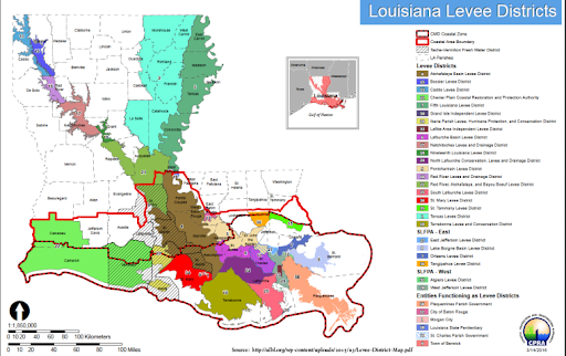
English: Map of Louisiana Levee System |
| Date | 2018/02.01 |
| Source | https://cwppra.wordpress.com/2018/04/25/levee-systems-in-louisiana/ |
| Author | Levee District Map - Association of Levee Boards of Louisiana |
Licensing
This file is licensed under the Creative Commons Attribution-Share Alike 4.0 International license.
- You are free:
- to share – to copy, distribute and transmit the work
- to remix – to adapt the work
- Under the following conditions:
- attribution – You must give appropriate credit, provide a link to the license, and indicate if changes were made. You may do so in any reasonable manner, but not in any way that suggests the licensor endorses you or your use.
- share alike – If you remix, transform, or build upon the material, you must distribute your contributions under the same or compatible license as the original.
File history
Click on a date/time to view the file as it appeared at that time.
| Date/Time | Thumbnail | Dimensions | User | Comment | |
|---|---|---|---|---|---|
| current | 21:24, 18 October 2021 | | 512 × 322 (131 KB) | Abnergzlz | Uploaded a work by Levee District Map - Association of Levee Boards of Louisiana from https://cwppra.wordpress.com/2018/04/25/levee-systems-in-louisiana/ with UploadWizard |
File usage
The following 2 pages use this file: